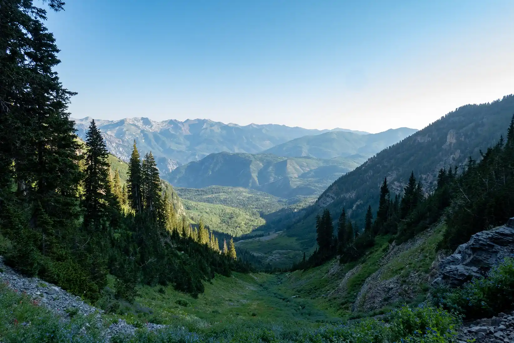
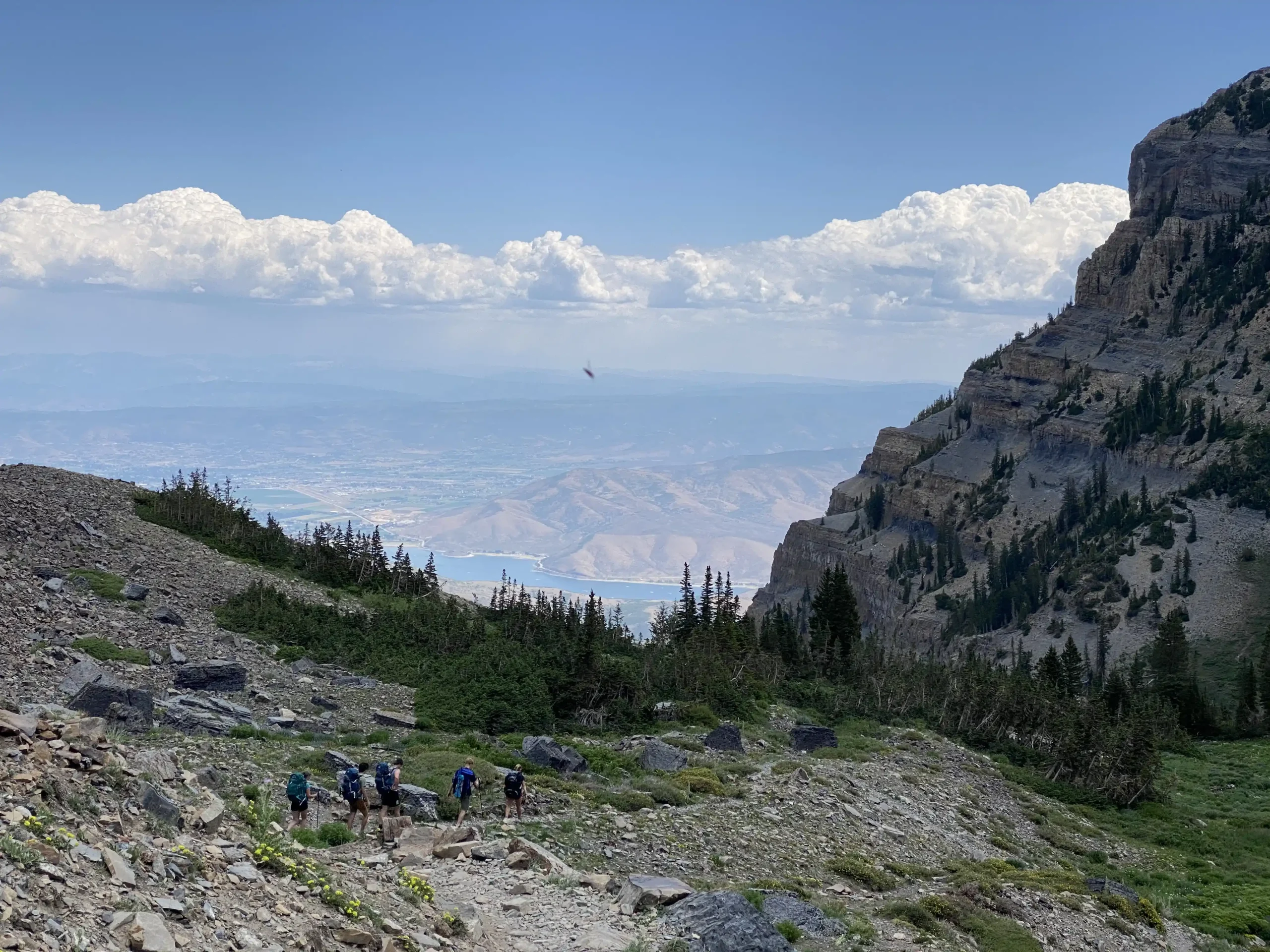
The Trails
How the trails impact your Timp hike
- There are two trails that you can take
- They meet at the saddle and then share the path to the summit
- They are both amazing and have incredible sights
- If you can work out the logistics, go up one and down the other
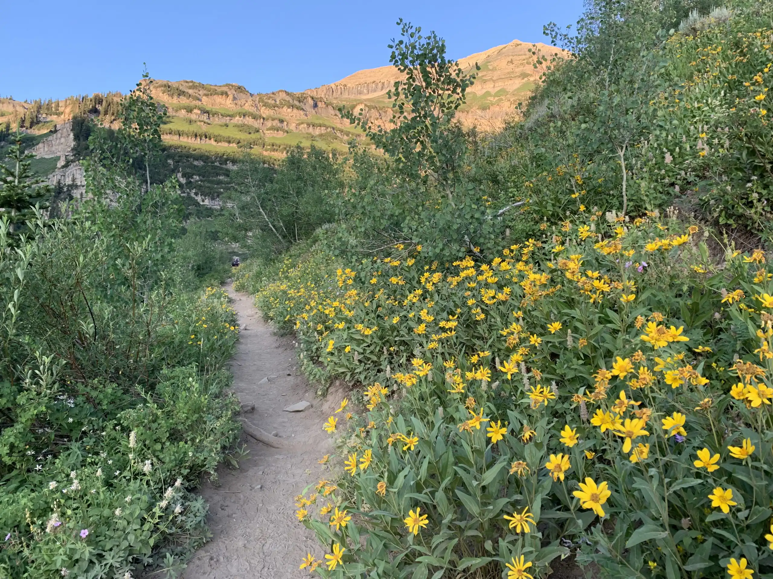
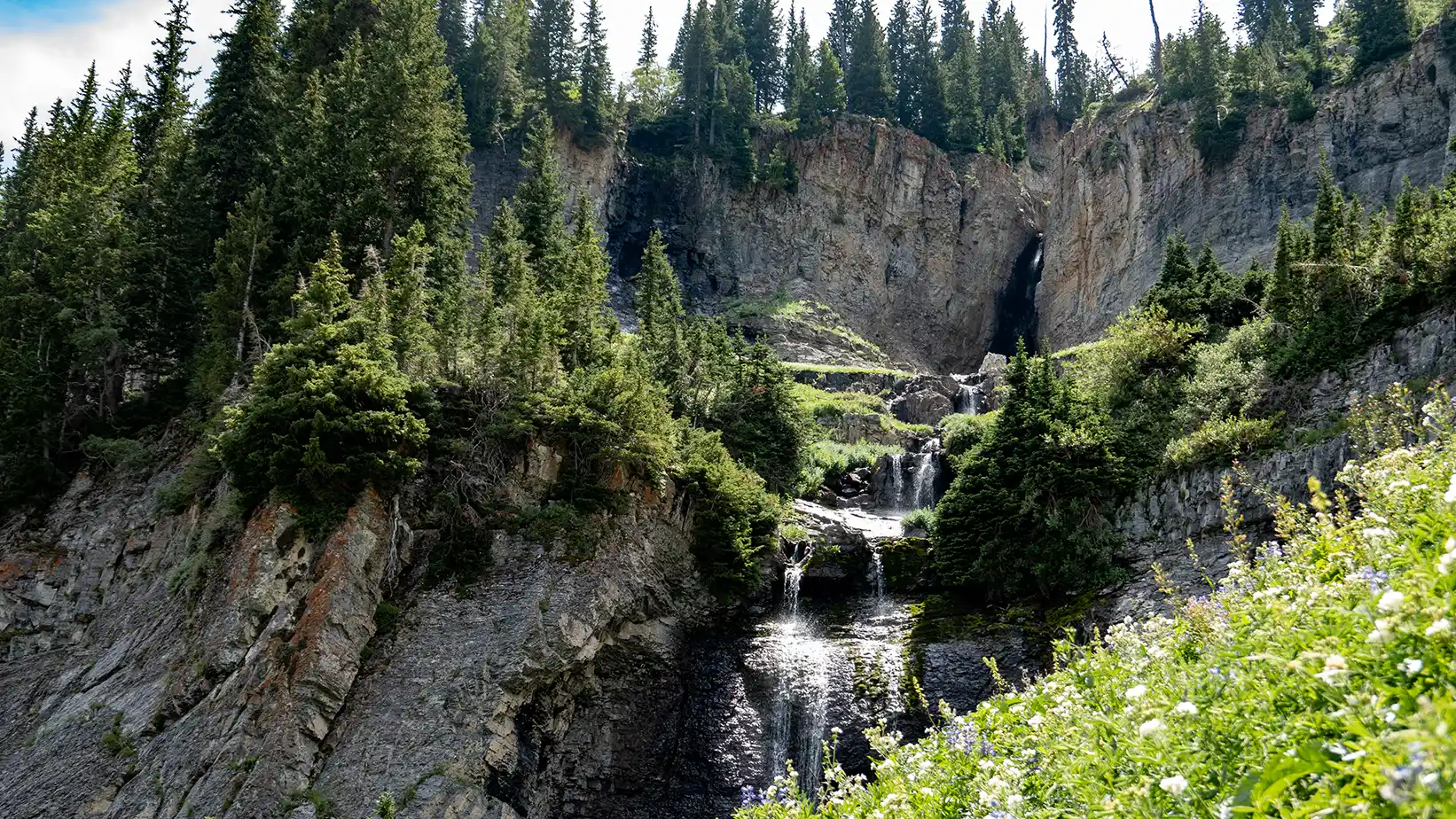
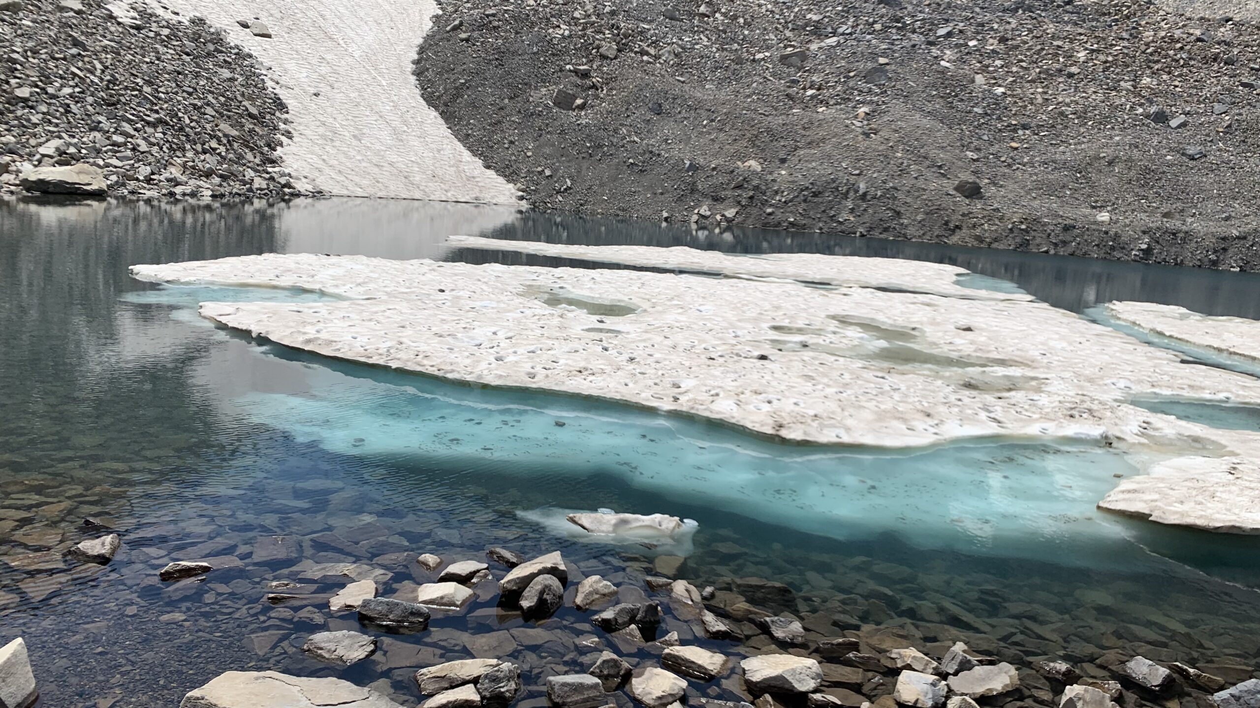
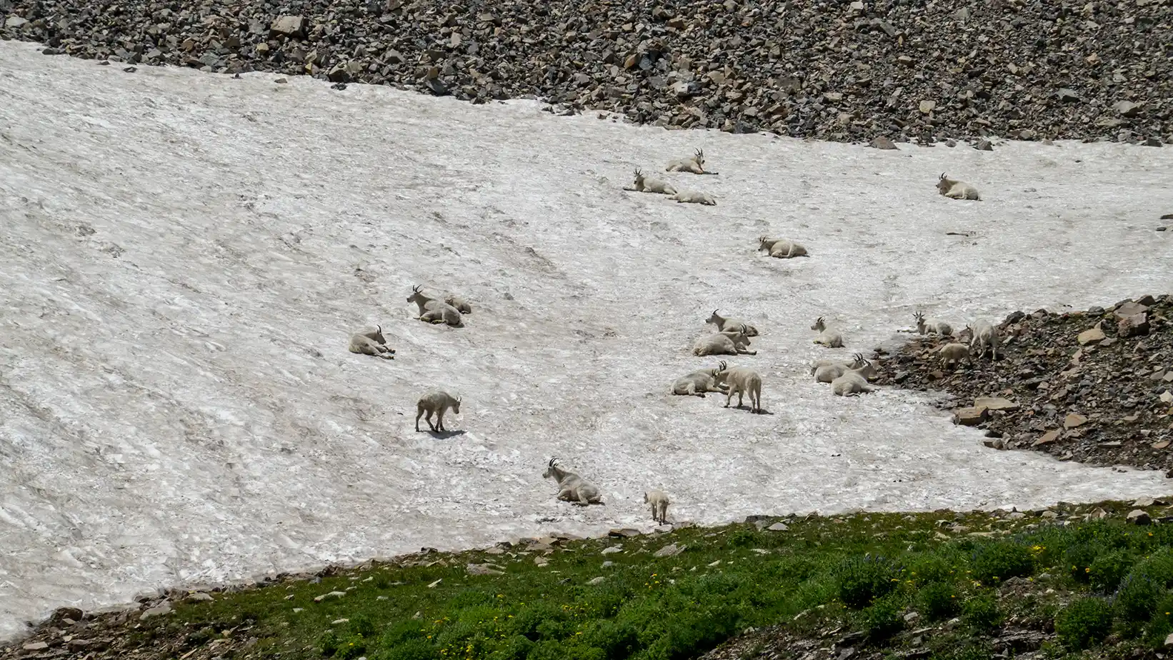
Timpanogos Trail (aka Aspen Grove Trail)
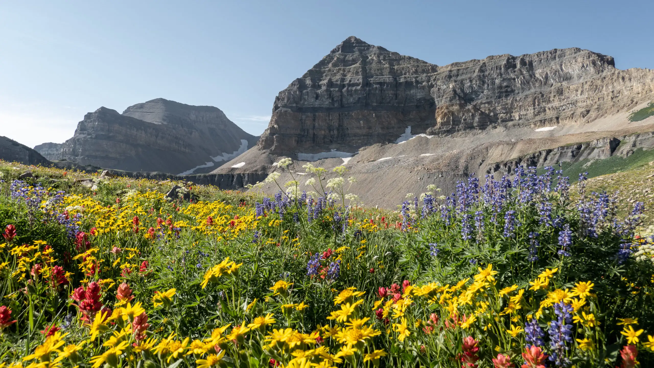
Highlights: waterfalls, Emerald Lake, Hidden Lakes, Primrose Cirque
Distance: about 14 miles round trip
Elevation gain: about 4,900'
Parking: Limited, day-use pass or America the Beautiful pass required
Water sources: Water may be filtered at First & Second Falls in the first 1.5 miles of the trail, and again at Emerald Lake at 5.5 miles up the trail
Difficulty: Strenuous - this hike is long, steep, crosses a talus field, involves walking on steep shale sections, and is very exposed
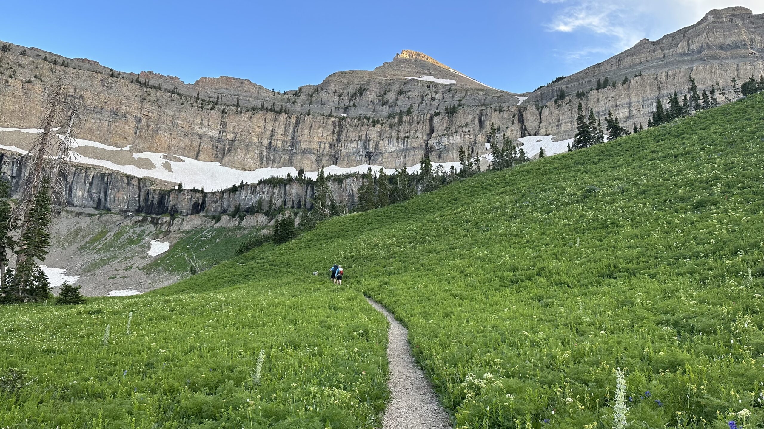
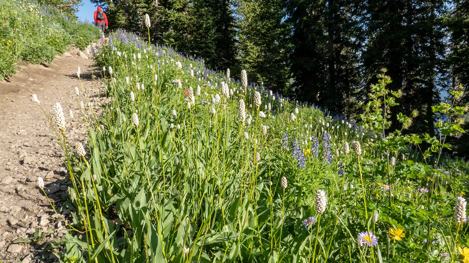
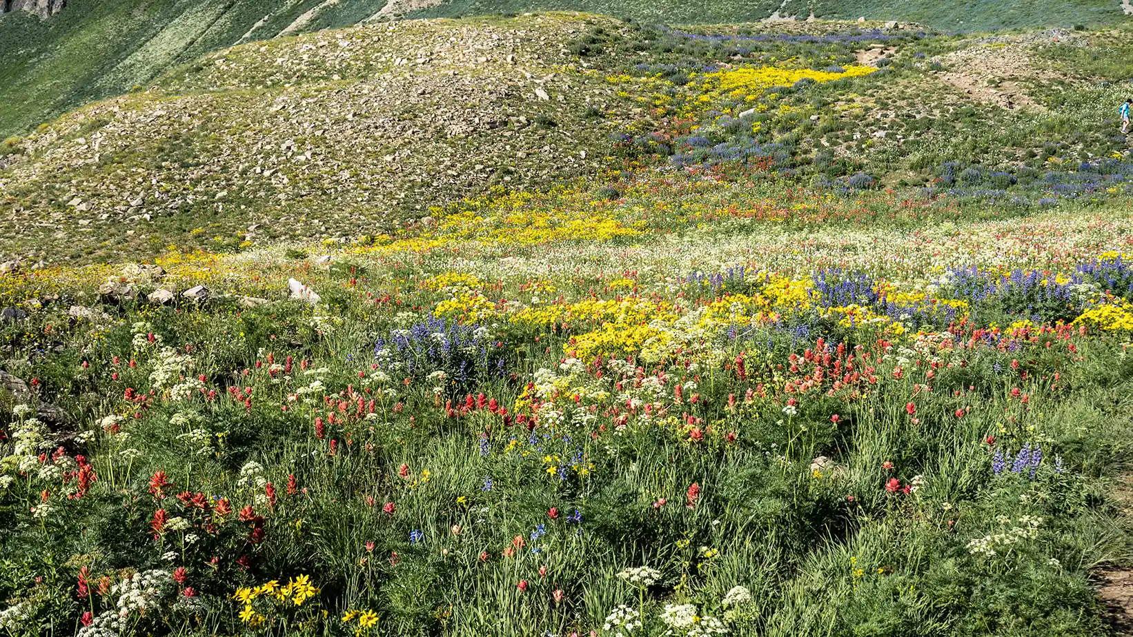
Timpooneke Trail
Highlights: Timpanogos basin wildflower gardens, less steep trail, Scout Falls (early in the season)
Distance: about 14 miles round trip
Elevation gain: about 4,400'
Water sources: There is no consistent water source beyond 2 miles from the trail head - if you plan to camp in the Timpanogos Basin, you'll need to carry in all your water, or hike over to Emerald Lake to filter (it's not an easy/quick hike)
Difficulty: Strenuous - this hike is long, steep - especially from the saddle to the summit, involves walking on steep shale sections, and is very exposed